Francavilla sul Sinni

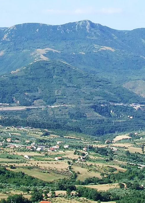
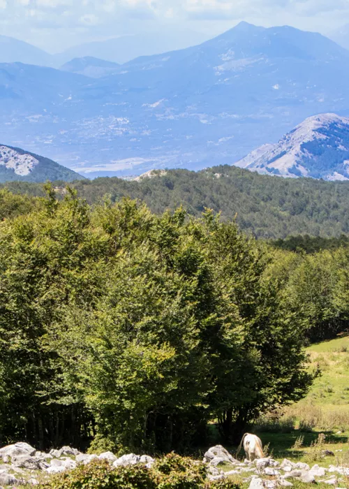
This route, which lasts approximately 7 hours with an altitude difference of 1,100 metres, starts from the square of Francavilla sul Sinni, a municipality in the province of Potenza, very rich and interesting from a naturalistic point of view since it is surrounded by beech, cerri and fir forests. Take the provincial road to San Costantino Albanese along the SP107 and after a few kilometres take a mule track on the left that continues until it reaches the tarmac forest track that climbs along the slopes of Mount Caramola and leads to the "La Caserma" mountain hut (1,311 m) located in a grassy clearing surrounded by a beech forest. We follow the path up the Coste di Federico at 1,023 m and as we walk, we notice that the vegetation gradually changes from chestnut, turkey oak and elm trees to beech forests. A short stop in the wide clearing of Lake Erba at 1,344 m, a small spontaneous pond where various aquatic species can be found, and resume by following the track up into the beech forest. After a few hundred metres, you come to a signpost indicating the Rubbio Oriented Nature Reserve which protects one of the park's most significant natural environments. You go through a gate and climb for about 1 km through rows of fir and beech trees and come to a fork with three tracks. Take the one on the right, which leads to the clearing of Petto Gentile at 1510 m, from where you can enjoy the magnificent landscape of the peaks of the Pollino Massif on whose slopes the forests of the Lucania side dwell. From here, we descend along the path to Mezzana Salice (918 m), a hamlet in the municipality of San Severino Lucano (Potenza), where we spend the night after enjoying an excellent dinner.
Mezzana

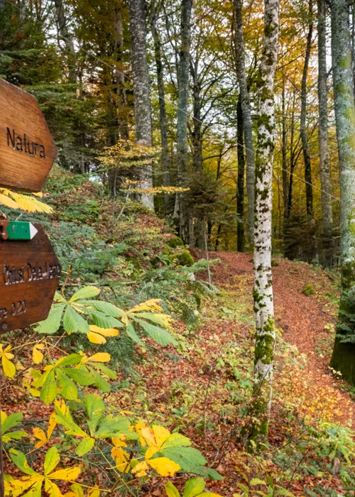
Early in the morning and after a hearty breakfast, we start off from Mezzana to tackle the second stage of about 6 hours with a difference in altitude of about 700 metres. Cross the bridge and take the cart track that leads to the Shrine of the Madonna of Pollino. After admiring the shrine, we resume our walk by taking the path behind the mountain hut near the shrine and ascending through the beech and fir forest. At a certain point, the path descends to the "Fosso Carceri" gully located at 1,450 m and here we continue to the right along a ridge that leads to a small gully, cross it and continue along a path where the traces left by the activity of the charcoal burners are evident. In the last section, the path branches off to the left and leads to the Cresta Madonna di Pollino (1,686 m), which dominates the Piana del Vaquarro from which Serra del Prete rises. After crossing the Frido stream bed, ascend towards the Valloncello di Viggianello. Before the end of the trail is the "Spezzavummula" spring at an altitude of 1,664 m where you can relieve your tired legs by soaking them in the cool water and camp for the night in a tent or use the Gaudolino Bivouac.
Serra di Crispo

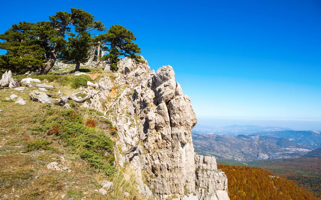
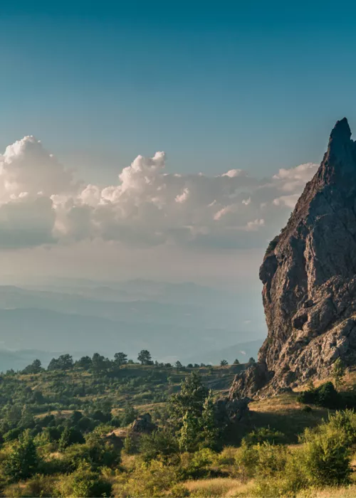
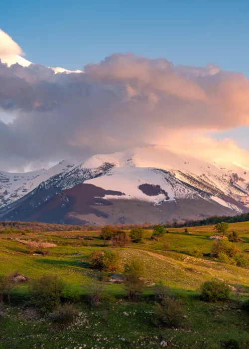
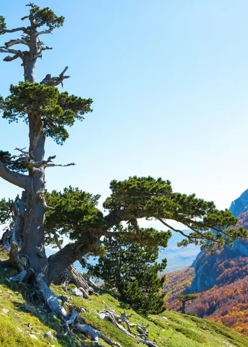
Having spent a wonderful night under a sky dotted with stars, clearly visible due to the absence of urban lighting, we set off again for Serra di Crispo, on a route that takes about 6 hours, with a difference in altitude of 450 metres. We take the path to the left of the "Spezzavummula" spring, which runs along the south-east wall of the Pollino massif. The stretch comes out onto a plateau at an altitude of 1,781 m, from which you can see Serra delle Ciavole, the Pollino Plains and Serra Dolcedorme (2,271 m). We climb to the left, skirting the Toscano Forest, through forests of beech and fir trees, until we reach the Serretta della Porticella and take one of the paths that leads to the Pitt’Accurc’ springs (1,790 m), where you can make a refreshing stop and set up the bivouac. Continuing along the Serretta ridge, through a meadow dotted with rocky outcrops, we enter the "Garden of the Gods", considered one of the sanctuaries of the Loricate Pine, and climb to the ridge of Serra di Crispo (2,052 m), which you reach after crossing the saddle and the steep climb along the crest. The view is breathtaking!
Terranova del Pollino

Duly refreshed with a solid breakfast, we are ready for the last stage of this itinerary in the spectacular landscape of Pollino Park, which takes about 7 hours and has a difference in altitude of 800 metres. We descend towards Piano Iannace (1,640 m) until we come to a clearing bordered by a watercourse characterised by the presence of monoliths. We cross a stream from which a path begins that passes through a forest of giant white firs and beeches, and we arrive at Pietra Castello, a limestone rocky relief at an altitude of 1,671 m, where we find specimens of fossils that lived and became extinct during the Cretaceous period (64 million years ago). The path continues towards Lago Fondo (1,508 m), a pond occupying a karst basin with a very variable water level; in fact, by the end of the summer it almost dries up. Various amphibians live in its waters, including the spectacled salamander. The path, which at a certain point passes through the Cugno dell 'Acero woods, crosses the Acquafredda spring and reaches the hamlet of Casa del Conte, where we take the paved road that runs along the Timpone di Balsamano, from which the great Garavina rift that gives rise to the Sarmento stream starts. After a few kilometres, we arrive in the town of Terranova del Pollino.

