From the Alps to the Apennines, 6 glaciers in Italy to see at least once
5 minutes

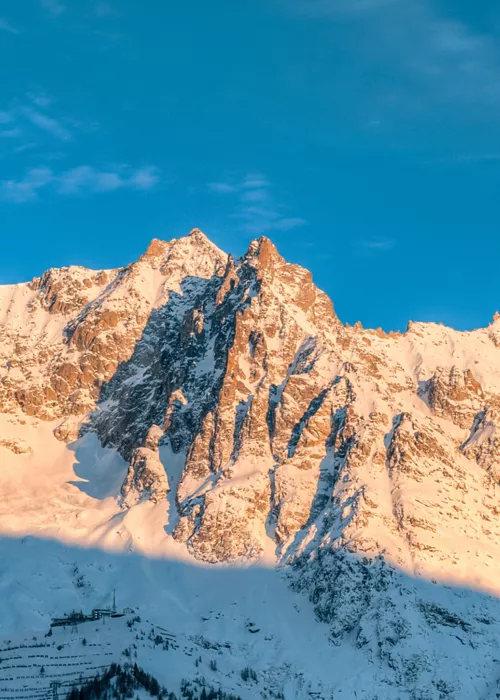
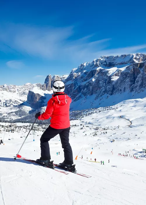
World Snow Day is celebrated on the 19 January 2025, a day that the International Ski Federation has established to promote winter sports. The FIS cooperates with various partners, including lift and cable car companies, ski and snowboard schools and clubs, national associations, government departments, non-governmental bodies and many others to host events and activities dedicated to snow sports. This anniversary dedicated to the beauty of the snow-capped mountain and its preservation is an opportunity for reflection and at the same time an ideal journey that touches on a majestic symbol of our peaks: the glaciers.
We present six of them, spectacular and reachable, ideally representing the 903 ice fields that the Glacier Cadastre has catalogued in our country. Sadly, they are all suffering from global warming: if their extinction cannot be completely halted, the giants of water, ice and everlasting snow can still be reached, perhaps on tiptoe, with the knowledge that we could lose them forever if we do not take responsibility for those everyday gestures that can help save them.
The Rutor glacier in the Aosta Valley

The Rutor glacier is one of the largest glaciers in the Aosta Valley. Its name inherited from the Testa del Rutor, the highest of the surrounding mountains. The waters leaving its basin and the many glacial lakes at its foot feed the Rutor stream, which in turn flows into the Dora di La Thuile and then into the Dora Baltea. Mighty waterfalls rise from the perennial snow of the Rutor glacier (3,846 m above sea level) and can be admired along a beautiful trail. The origin of the Rutor is the subject of a legend. Once, in place of the glacier, there was a rich man's pasture. Known for his miserliness, he was tested by the Good Lord: one day a beggar came to the pasture at milking time to ask for a bowl of milk. At the poor man's insistence, the rich shepherd spilled his freshly milked milk, as a sign of contempt. The milk became snow and then ice, taking away the pastures and all forms of life.
Starting from the Deffeyes Refuge, a hike allows you to admire the alpine lakes that originate from the glacier, up to the point where it plunges into the lake of the same name.
The Belvedere glacier, on Monte Rosa

The Belvedere Glacier is located at the foot of the eastern face of Monte Rosa. Its eternal snow originates at an altitude of approximately 4400-4500 metres and extends up to 1800 metres. Unlike other Alpine glaciers, Belvedere is an 'advancing' glacier, a phenomenon that has been recorded since 2001 and is presumed to result from the increase in temperature on the east face of Monte Rosa. This shift is technically called 'glacial flooding'. The Belvedere has the special characteristic of being anything but white, in fact the ice is dark and in many parts covered by rocks and debris.
To reach it, you can start from Macugnaga, pass through the Walser village of Dorf and climb a steep ridge up to Alpe Roffelstaffel. This leads to a small valley at the foot of the moraine bank of the Belvedere Glacier. You can also continue until you cross the ice strip, following a recommended route.
The Miage glacier on Mont Blanc

The Miage glacier rises and falls from Mont Blanc, in the upper part of Val Veny. It covers over a thousand hectares and is more than ten kilometres long. The Miage is the largest black glacier in the Italian Alps and its transformation is allowing glaciologists to study its evolution between the Neo-Glacial and Little Ice Age. A small lake has been formed downstream of the glacier, which can be reached on foot without any particular difficulty. The trail first reaches the Combal lake and then the Cabanne du Combal. From the shores of the lake, you can watch ice blocks break off from the end of the glacier, which has decreased in size by almost thirty metres since the 1990s. In the vicinity of the glacier are the remains of some fortifications dating back to the 18th century, when French troops crossed the border coming over the Col de la Seigne.
The Fellaria glacier in Lombardy

The Fellaria glacier is one of the largest in the central Alps. It rises in the Malenco Valley, over 3,500 metres above sea level, where the peaks of the Bernina range can be admired. The glacier is also known as Vedretta di Fellaria. It rises above 3,500 metres in the frozen desert of the Fellaria Plateau, where some of the most important peaks of the Bernina range can be enjoyed. From the Fellaria Plateau originates the Palù Glacier, which descends towards Switzerland (it can also be glimpsed from the carriages of the Trenino Rosso del Bernina on the route between Poschiavo and S. Moritz) and the Fellaria Glacier, which is divided into two different icy strips.
To reach the glacier on either side of the peak, a path must be followed by experienced hikers. The reference 'base camps' for the ascent are the Zoia shelter and the Bignami shelter, as well as the Marinelli shelter.
The glaciers of the Gavia and Adamello Passes, between Lombardy and Trentino Alto Adige

There are two glaciers that cover the Gavia Pass in white: the Sforzellina and the Dosegù. The first can be reached from the Bonetta hut, following the path along the southern profile of Lake Bianco. Whereas, staying at a higher altitude and heading towards the region north of the Punta della Sforzellina, we arrive at the Dosegù basin.
Straddling the border between Lombardy and Trentino is one of the largest glaciers in the Italian Alps: the Adamello glacier, which stretches from a maximum altitude of 3,530 metres to a minimum altitude of 2,550. Two routes can be followed to climb up to the glacier. The first crosses the Pian di Neve to reach Punta Venerecolo. From here, we descend to the Val d'Avio, and then arrive at the Rifugio Garibaldi, a privileged vantage point for glimpsing the north face of the glacier. The same glacier can be reached from Ponte di Legno, up to the Tonale Pass and then to Val Sozzine. After crossing the valley, the walk leads to the Pisgana Lake, from which you can admire the glacier.
The Calderone glacier in Abruzzo, in the Apennines

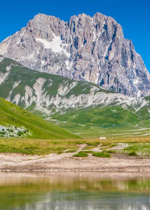
The Calderone glacier is the only Apennine glacier. Located in Abruzzo, on the Gran Sasso d'Italia, it lies between 2,650 and 2,850 metres above sea level. It is considered the most southerly glacier on the European continent and, as the only Apennine glacier that survived the end of the last glacial period, is the subject of many scientific studies.
The Calderone is divided into two parts, and it is only the debris and rocks that manage to preserve the ice. Unfortunately, this can be described as rapidly dying out. The scale of its reduction is better explained by numbers than words. Between 1800 and 2000, the glacier shrank from four million cubic metres of ice to less than 500,000 cubic metres, reducing its volume by about 90% and its surface area by 50%.
To reach it, the most popular and most recommended route is from the Madonnina cable car via the Franchetti shelter. In a safe manner and with a few exposed sections, you can enjoy splendid views of the three peaks of Corno Grande.


