Bressanone

Lying at an altitude of just over 500 metres, Bressanone is a small alpine capital. Noble and proud, the town is dominated by the monumental towers of its Cathedral and the ancient bishop's palace. Bressanone will surprise you with the intimate atmosphere of the medieval arcades and little squares lined with elegant shops and finely-decorated bars and cafes. The city is framed by a picture-perfect setting, with vineyard-covered hills and mountains extending as high as 2500 metres. Among them you can spot the Cane and the Pascolo peaks to the west, with the Plose ridge to the east. You are in the Isarco valley, the gateway to the Pusteria, where the Rienza, the river that descends along the valley floor, plunges into theIsarco. In spring, you could spend hours on the Widmann bridge admiring the spectacle of these two powerful rivers .
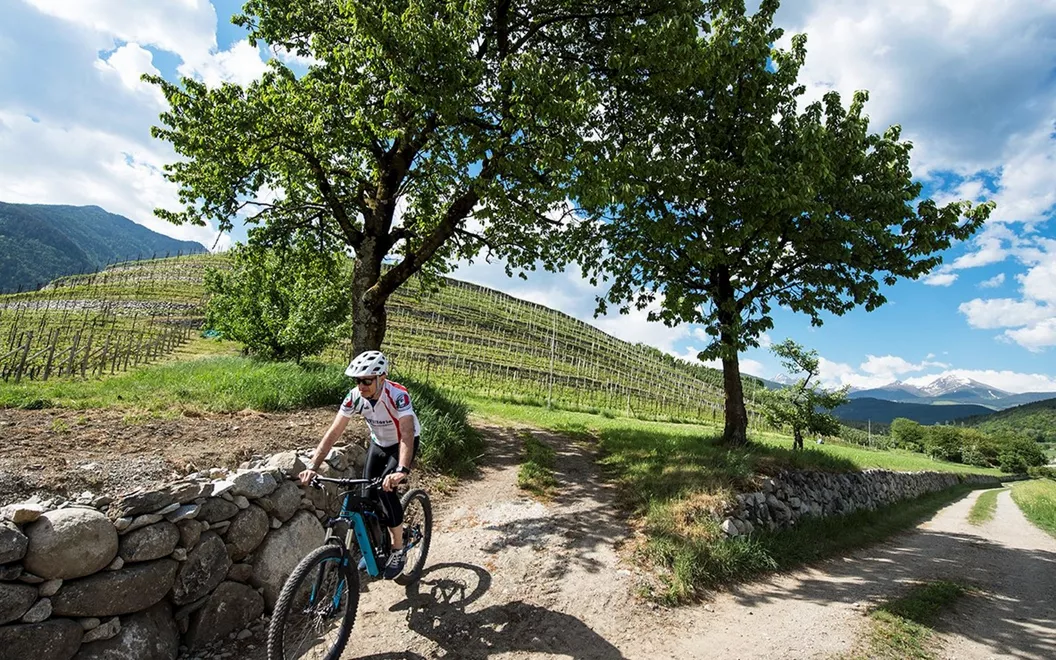
In Bressanone, if you are fit enough, you can take a mountain bike to explore the mountain trails and paths. A good option is the Plose ridge (where you can also ascend by cable car, offering spectacular views). From its highest peak, the Gabler (2576 m), you can admire a panoramic view of the Dolomites, the Odle and Sass de Putia, before returning to Bressanone in a "free descent" on the adrenaline-pumping single trail. On the other hand, the Isarco valley cycle trail is
a bit gentler: in less than 10 kilometres it will take you from Bressanone to the foot of the Forte di Fortezza, then on to Rio Pusteria which marks the start of the original Val Pusteria cycle path. Along the way, at Varna, you could pay a visit to the beautiful Novacella Abbey. This is the only challenging stretch you'll have to tackle: it is a climb of about 500 metres, with a gradient of 10% at its steepest point.
From Forte di Fortezza to Rio Pusteria

The cycle path that links the two main bike trails in the Isarco and Pusteria valleys starts at Fortezza - in fact, it's often considered an extension of the main trail that officially starts at Rio di Pusteria. Following the path from Fortezza you soon come to the village of Aica, with a not too demanding descent near Sciaves; about ten kilometres further on, past green meadows and forests, you enter the village of Rio di Pusteria, where in summer you'll often come across athletes and football teams preparing for the competitive season. It's easy to understand why: Rio is a tiny paradise for those who love sport, at a high enough altitude (763 metres) to train without suffering the summer heat, but not high enough to be affected by the cold. There are state-of-the-art sports facilities, from the swimming pool to the UEFA regulation football pitches and tennis courts in Valles, as well as luxury accommodation. Here you'll find endless opportunities for running, cycling and rock climbing, or even just for walking while breathing in the invigorating forest air. The best excursions are to the Malga Fane at Valles, or the picturesque mountain lodges in the Altafossa valley, near Maranza, where you can also use the convenient cable car. To fall in love with Rio di Pusteria, just take the Val Pusteria cycle path for a couple of kilometres in a northeasterly direction: you'll find yourself in front of the ancient Chiusa di Rio on the Rienza.
From Chiusa di Rio to Bruneck

After Chiusa di Rio, the cycle path follows the course of the Rienza, roughly following the route of the Val Pusteria railway line. The asphalt gives way to undemanding sections of unsurfaced road or gravel paths - you'll hardly notice that you are cycling slightly uphill. A short distance from the cycle path, there's a sequence of picture-perfect villages: Vandoies di Sotto and Sopra, San Sigismondo and Chienes, inviting you to take a short detour. After crossing Casteldarne, you leave the riverside for a short stretch, to bypass the Floronzo hill for an easier ride to San Lorenzo di Sebato. By now, you are almost on the outskirts of Bruneck, a town that has stood on the left bank of the Rienza since the Middle Ages. Bruneck is the main town of the valley, and is also a perfect base camp for a full immersion in the high mountains. The efficient ski lifts transport skiers to the world-famous slopes in winter, but in summer they are valuable aids for hikers heading to the nearby Dolomite area of Plan de Corones: only true athletes can cycle up this hill, with its many hairpin bends made famous by the cycling Tour of Italy. Each curve is dedicated to a cycling champion: in some places, the gradients exceed 20%. The mountain also has a museum dedicated to it, the Messner Mountain Museum MMM Ripa, which you will find in the castle.
In Bruneck, you might want to take a detour to see at least the first section of the Tures valley cycle path, which leads to Campo Tures in less than 20 kilometres. The trail takes you through an unspoilt world of forests, alpine pastures, waterfalls and small lakes. The route becomes more challenging as it continues northwards, to the Aurina valley.
Bruneck

After Bruneck, the Val Pusteria cycle path heads straight for the Dolomites of Braies and Sesto - the panoramic views are truly stunning. To admire them up close, just cycle uphill for a few kilometres through the Rienza gorge. Most of the route is unsurfaced, but it's not so tiring because the ascent ends just before you reach the picturesque Lake Valdaora, at just over 1040 metres above sea level. You'll follow the lake for its entire length, about 1700 metres, and are sure to see several fishermen along the banks. The route then continues on a gentle slope with slight gradients alternating with flat sections, towards Monguelfo and Villabassa. The only real difficulty you'll encounter will be deciding whether to keep going straight along the cycle path or whether to allow yourself a couple of fantastic panoramic detours: to the north lies the Vedrette di Ries-Aurina Natural Park and Lake Anterselva (you'll need to be fit and in good shape for this one!), and to the south there is a slight descent down to the Fanes-Senes-Braies Natural Park, famous as much for its mountain peaks as it is for Lake Braies. If you follow the cycle path, the next stop will be Dobbiaco (Toblach), a little further west.
Toblach

Dobbiaco is the "gateway to the Dolomites", immersed in the lush nature of the valley floor and with a timeless beauty. Its elegant architecture, with its Belle Époque charm, reminds you that in the summers of the late 19th and early 20th centuries, this was where Habsburg high society came to enjoy a holiday surrounded by the most beautiful landscapes of the Empire. The monumental Grand Hotel, now a cultural centre, is home to the Three Peaks Natural Park. After the visit to the village, it's time to get back on the saddle and head off on the final stretch, towards San Candido.
Innichen (San Candido)

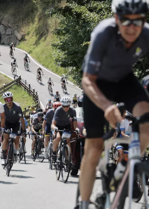
A peaceful ride of just 5 kilometres separates Toblach from San Candido, now close to the Austrian border. We advise you to leave Toblach just before sunset, so as to arrive in San Candido when the warm light of the sunset "sets fire" to the Dolomites: it is an unforgettable sight. In the meantime, the cycle path approaches the Rienza to follow the very first stretch of the Drava (in German Drau), the river that rises halfway between Italy and Austria, and which gives its name to the Austrian section of the cycle path (Drauradweg). You'll immediately notice that cycling is very popular here: this is an area where sporting activity is more popular than average. It's the home of Jannik Sinner, a champion born in the shadow of the Collegiate Church of Saints Candidus and Corbinian, and who is the most recent in an impressive dynasty of skiers, biathletes, sledgers and players of hockey (on ice, of course). It's all thanks to the presence of the Dolomites, a natural gymnasium that exerts an irresistible call to the great outdoors, attracting alpine skiers, athletes, hikers and bikers. Nordic walkers and horseback riding enthusiasts will also find a mini paradise here, with the well-equipped trails and riding stables offering opportunities for fantastic excursions. With a gentle gradient for about ten kilometres, from San Candido (Innichen) you can easily reach Sesto (Sexten), Moso (Moos) and the secluded microcosm of the Fiscalina valley, an unspoilt stretch of valley floor just 4.5 km long. This is one of the entry points to the Three Peaks Natural Park, which shields much of the Sexten dolomites.


