From St. Peter's Basilica to Subiaco along the Appian Way

Starting from St. Peter's Basilica, the first 100 kilometres are all in Lazio. From Rome, in fact, the best route to follow is the Appian Way, the Regina Viarum immersed in the largest urban regional park in Europe, dotted with archaeological remains.
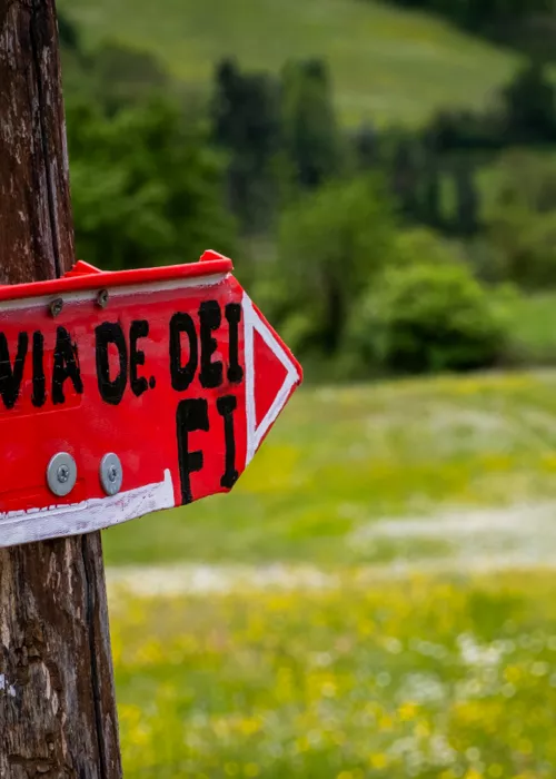
Near Marino you will move onto the Via Francigena del Sud (marked by several signs), which leads to Lake Albano where Castel Gandolfo, the summer residence of the pontiff, and Albano Laziale with its St. Peter's Basilica stand next to each other. We are in the heart of the Castelli Romani Regional Park, a place of wide views, remains of ancient villas and enchanting towns such as Artena, with its cascade of stone houses perched on the foothills of the Monti Lepini, and Genazzano.
From here, the slopes begin to get more challenging, but you will be rewarded with breathtaking views. All around, you will find defensive fortresses and mediaeval villages such as Ovelano Romano, Affile and Roiate, whose church houses a boulder that allegedly bears the imprint of St. Benedict's body. The memory of the saint from Norcia pervades this entire territory and culminates in Subiaco, the end point of this first stretch of the route, with the Monastery of St. Benedict and the Sanctuary of the Sacro Speco ("Holy Cave"), beautifully frescoed, where St. Benedict withdrew in meditation for three years.
The summit of the Cammino and the descent to Abruzzo

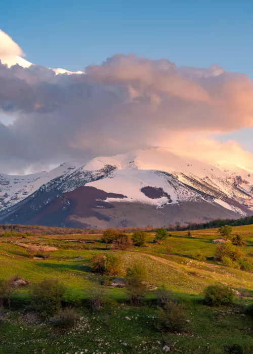
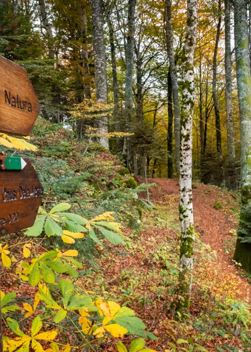
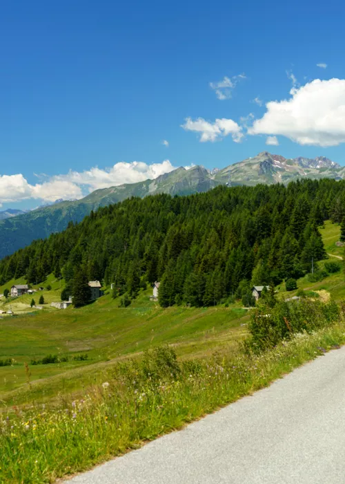
From Subiaco, you start climbing for real. You've already reached the Simbruini Mountains Regional Nature Park, part of the Lazio Subapennines. From the ski slopes of Monte Livata, along the path through one of the largest beech forests in Europe, you will reach Campo dell'Osso and from there Monte Autore, which at 1855 metres is the highest peak of the St. Thomas Way. Once at the top, the 360-degree view is one of the achievements you can take home with you. There is also a version that runs 100 metres below and does not skimp on the views of the valley. On the ridge of the mountain, stop at the Sanctuary of the Holy Trinity, carved into a rock face. The border between Lazio and Abruzzo also crosses here: Camporotondo di Cappadocia is the first town in Abruzzo on the Camino. This part of the route is easier, still immersed in the beech forest and in a comfortable descent on narrow roads. Verrecchie, a village in Cappadocia, welcomes with idyllic scenery, an artificial lake for sports fishing and the verdant slope of Monte Padiglione: it is no coincidence that the village is a popular holiday destination for the people of Rome. Still descending in altitude, the next stop is the beautiful mediaeval village of Tagliacozzo and then Massa d'Albe with the archaeological site of the glorious Alba Fucens, easily accessible by car. The two conical humps of Monte Velino and, slightly lower, Monte Cafornia, dominate the skyline.
From the Rocche Plateau to the sea

From Massa d'Albe, you start climbing again. The first target is the Rocche Plateau, in the heart of the Sirente-Velino Regional Park, with the Gran Sasso in the distance. The plateau is located between 1200 and 1400 metres above sea level and is crossed by a beautiful cycle path, but to reach it you have to overcome difficult stretches, especially between the Valico Fonte Capo La Marina and the town of Rovere.
Further on, between the villages of Rocca di Mezzo and Fontecchio, the St. Thomas Way takes another challenging deviation, with a 20% gradient. Don't give up because at the end of the climb is one of the hidden jewels of Abruzzo's hinterland: the Pagliare di Tione. The pagliare were small stone dwellings which were once the seasonal home of farmers in the fields of the plateau. The Pagliari di Tione have been renovated in recent years and today form a picturesque village lying at the foot of Monte Sirente.
Between Fontecchio and Capestrano you will cross villages that hold treasures such as Bominaco, with the oratory of Saint Pellegrino (known as "the Sistine Chapel of Abruzzo") and the church of Santa Maria Assunta, and such as Navelli, the production centre of the prized L'Aquila PDO saffron. Perhaps the most exciting point is reached in the Capestrano basin, where the Adriatic is first seen. The finish line is still far away, but the sea traces the way.
From Capestrano, crossing the source of the Tirino, you reach the lake of Capodacqua and Forca di Penne which, offering a scenic descent, leads to Pescosansonesco with its Sanctuary of San Nunzio.
Pescosansonesco and the springs of Lavino, Manoppello and the rock mills

From Pescosansonesco, home to the important Sanctuary of San Nunzio, the road begins to descend again to Manoppello. Stop at the Abbey of San Clemente in Casauria and then, near the town of Scafa, you will meet a forest of poplars, willows and elderberry that hides the sulphur springs of the Lavino stream. The presence of special algae and sulphates gives the water a brilliant emerald colour, creating a fairytale landscape that provides shelter for various bird species, including kingfishers, goldfinches, woodpeckers and nightingales; the surrounding structures and tables with benches make the area an ideal place to take a break for a picnic. Why not make the most of it?
At the entrance to Manoppello, signs inform that the town is twinned with Marcinelle, a Belgian town where in 1956 a mine caught fire, causing the death of 262 miners, who were trapped more than 1,000 metres underground. 136 of them were Italians, 60 were from Abruzzo and 23 came from Manoppello. A municipality now included in the Maiella National Park, Manoppello is a pilgrimage destination for the Santuario del Volto Santo ("Sanctuary of the Holy Face"), but a few kilometres away, the Abbey of San Liberatore a Maiella, one of the oldest in Abruzzo, which appears like a mirage in the greenery, isolated from everything, is also worth a stop.
Continue along the course of the Alento river and through the Valle del Foro valley, where you can visit two very rare rock mills, carved into the rock and still in operation until the early 20th century. Leaving the Valley, you reach San Martino sulla Marrucina. Meanwhile, the landscape begins to change, with olive trees, vines and fig trees announcing that we are approaching the sea. But before finally dumping your backpack, stop off at Crecchio where the majestic Ducal Castle houses the Byzantine and early mediaeval Abruzzo Museum. From here Ortona is only 14 kilometres away, and here you will end your journey, finally reaching the Cathedral of St. Thomas where, inside a golden sarcophagus kept in the crypt, lie the saint's relics.


