5 itineraries to discover Italy by bicycle
5 minutes
There are fabulous cycling lanes running parallel to the sea, scenic routes through mountain valleys or overlooking lakes, long cycle-ways crossing regions and borders, and amazing historical itineraries perfect for two wheels, among villages, hills and old tracks: Italy is a real paradise if you love to go cycling. Here we have picked up five different itineraries to discover Italy by bicycle: short and long routes yet accessible to anyone, for a comfortable family tour, a trip on your own or with your friends.
The Munich - Venice Cycling Route
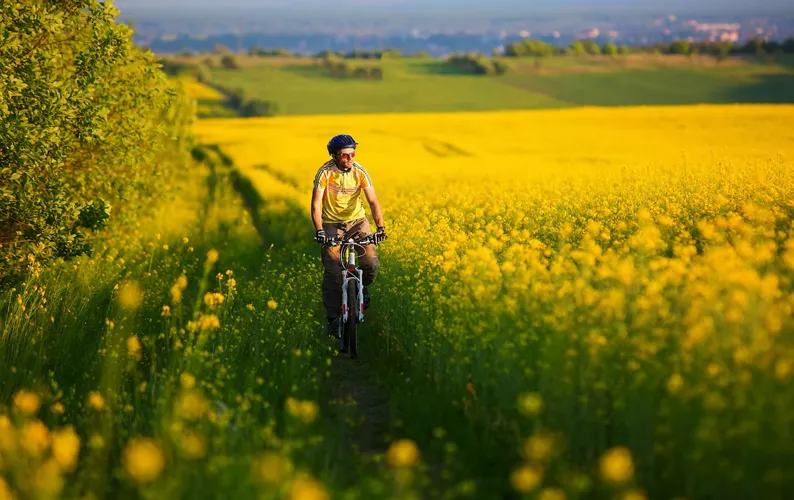
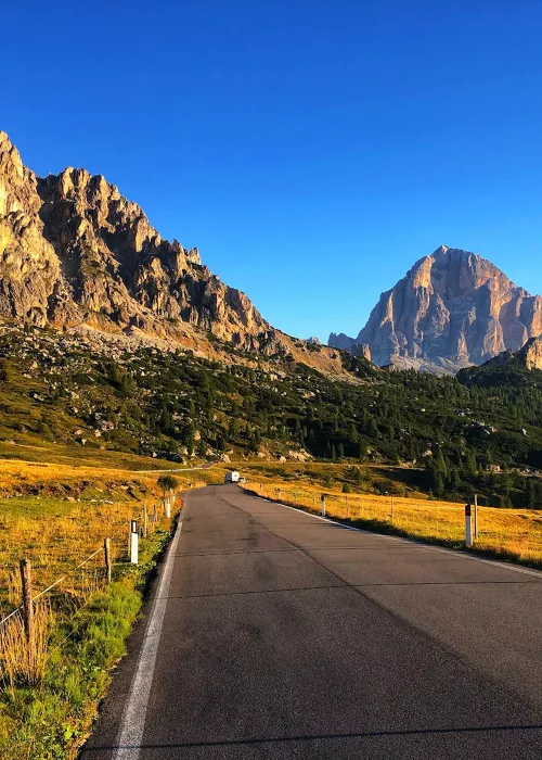
560 kilometers from the Alps to the sea, 3,000 meters in altitude, three European countries crossed: the Munich-Venice Cycling Route is an extraordinary cross-border cycling route that links Munich to Venice passing through Germany, Austria and Italy. This route, varied and very panoramic, follows existing cycling lanes (like the River Inn Cycle Trail) and secondary roads with low traffic. It offers the opportunity to visit important cites like Munich, Innsbruck, Cortina and Venice, but also to run along lakes and rivers (the Achen Lake in Tyrol, the Isar river, Toblacher See, Olanger See and Lake Santa Croce) and idyllic valleys (among which the Wipptal area, the Eisacktal Valley, Puster Valley and Cadore, in the heart of the Dolomites, UNESCO World Heritage site). You need more days to cover the whole cycle-way, but you can also travel just for some stretches: along the way, you find available an efficient bus and train service for bike transport and service points for bikes.
- Length: 560 kilometers (it can also be covered only for some stretches)
- Departure/arrival: Munich/Venice
- Difficulty: medium
Via Francigena by bicycle
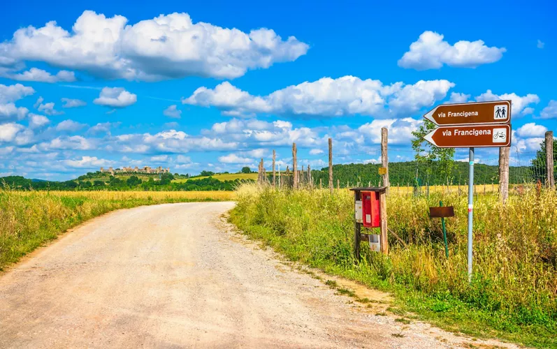
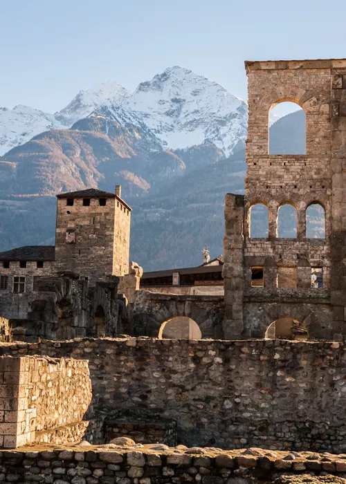
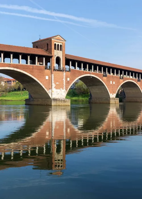
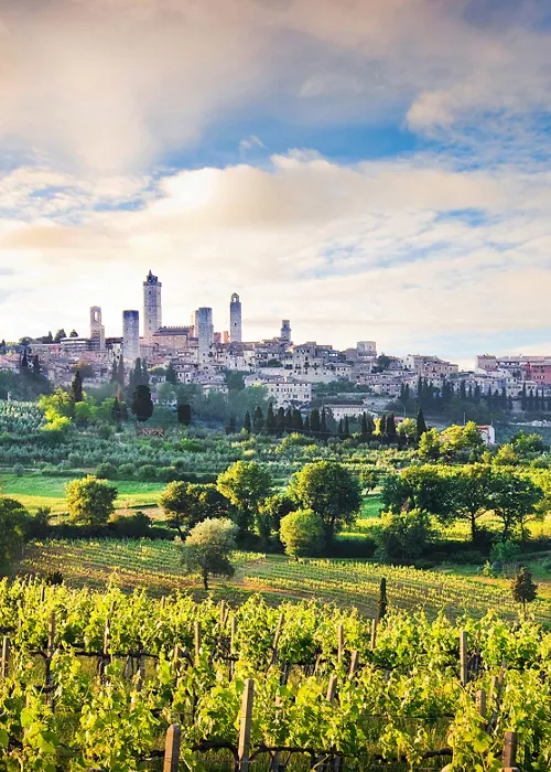
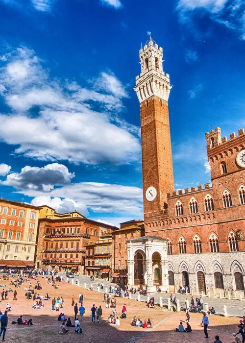
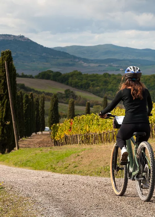
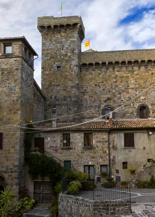
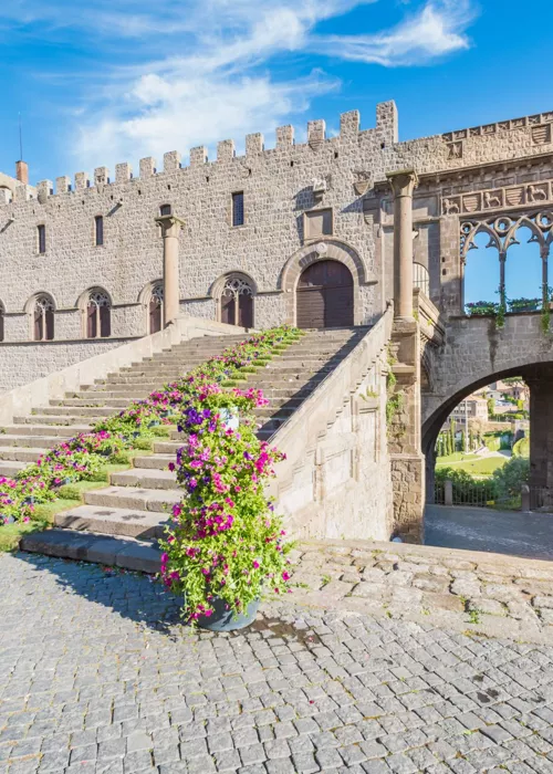
The classic route is generally made walking, in the footsteps of the medieval pilgrims on their way to Rome, but it can also be covered by bicycle: the Via Francigena covers 1,040 kilometers – fully signaled – from the 2,500 meters of altitude of the Great St Bernard Pass to Rome, crossing the Po Valley, the Apennines and the Tuscan valleys. The recommended stages are 23, with a length of about 50 km each (but adaptable at will), where to cycle with peace of mind. Compared to the pedestrian route that mainly comprises of dirt roads, the cycling route avoids bumpy roads and comprises 70% of paved secondary roads; anyway it shares most of the stages with the pedestrian way: along the way you’ll see Aosta, Pavia, San Gimignano, Siena, the Val d’Orcia, Lake Bolsena and Viterbo. The first leg of the route, until Fornovo, has limited difference in height; it becomes more challenging after the Cisa mountain pass, where, between Tuscany and Lazio, several ups and downs follow. For bike transport, you can rely on regional trains.
- Length: 1,040 kilometers (it can also be covered only for some stretches)
- Departure/arrival: Great St Bernard Pass/Rome
- Difficulty: medium
The Cycle lane of Dreams on Lake Garda
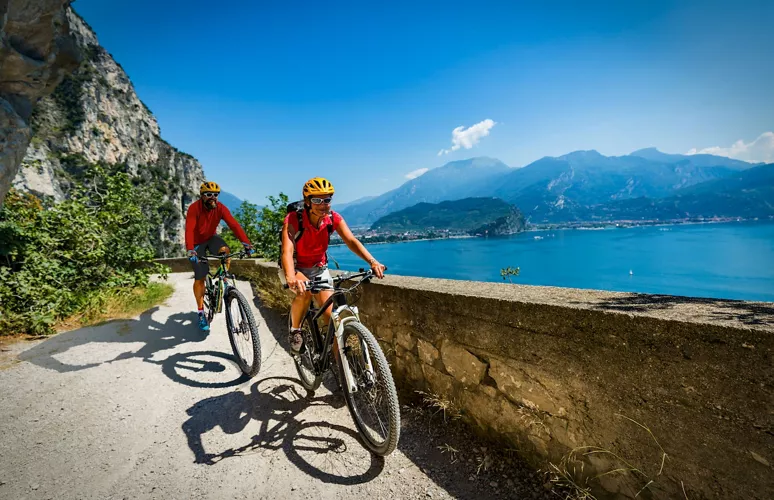
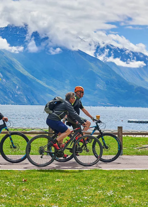
The cycling and pedestrian lane of Lake Garda, between Limone sul Garda and Riva del Garda, is the first section of a far more ambitious project: a cycling loop route along the whole Garda coast. Thanks to the jaw-dropping view on the blue waters of the lake, the lane is also known as “Cycle lane of dreams”: easy and super scenic, conceived for families, the cycling lane runs along a magnificent walkway clinging to the rocks suspended between sky and lake, ancient lemon groves and the Mediterranean scrub. The cycling lane is nearly 2-kilometer long and is perfect for a quiet family trip or for a romantic stroll. Thanks to the modern led illumination, this cycling lane can also be traveled by night. Ideal starting point for the cycling lane is the center of Limone sul Garda (also reachable by ferry from other localities on the lake), about 3 km away from the starting point of the cycling path, where are many parking possibilities (close to the cycling lane parking is limited).
- Length: 2 kilometers
- Departure/arrival: Limone sul Garda/Riva del Garda
- Difficulty: easy
The Cycle Path of the flowers in Liguria
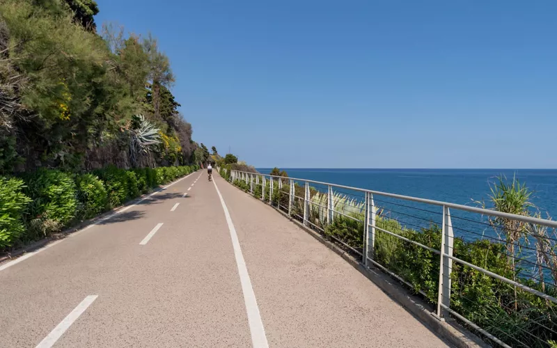
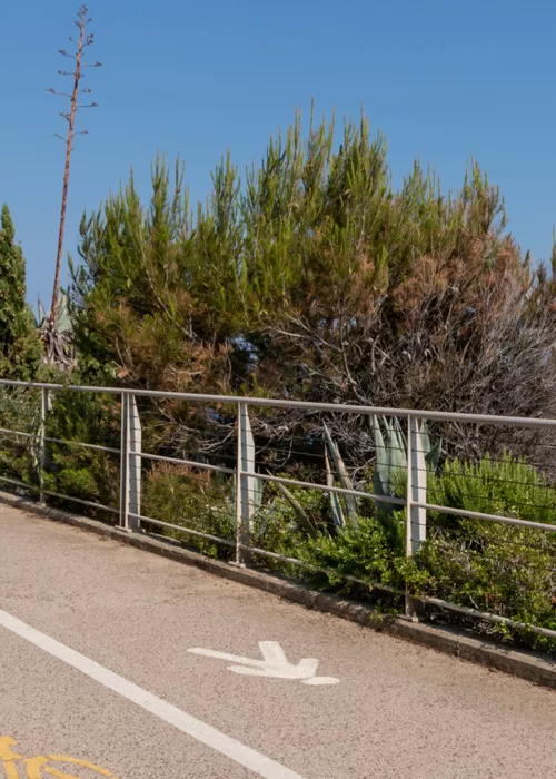
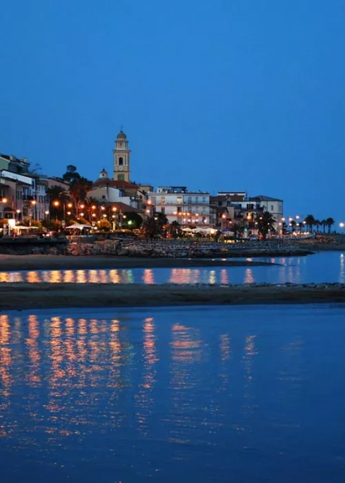
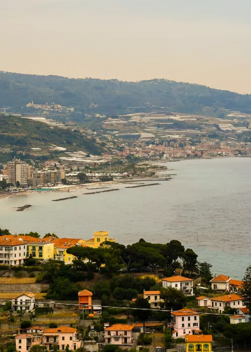
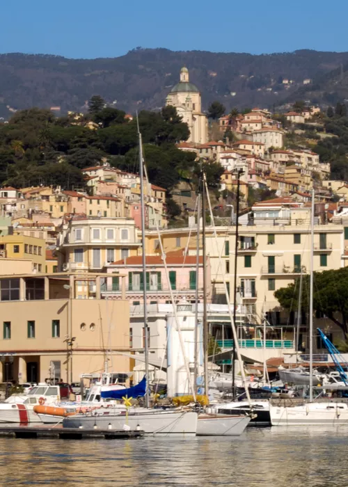
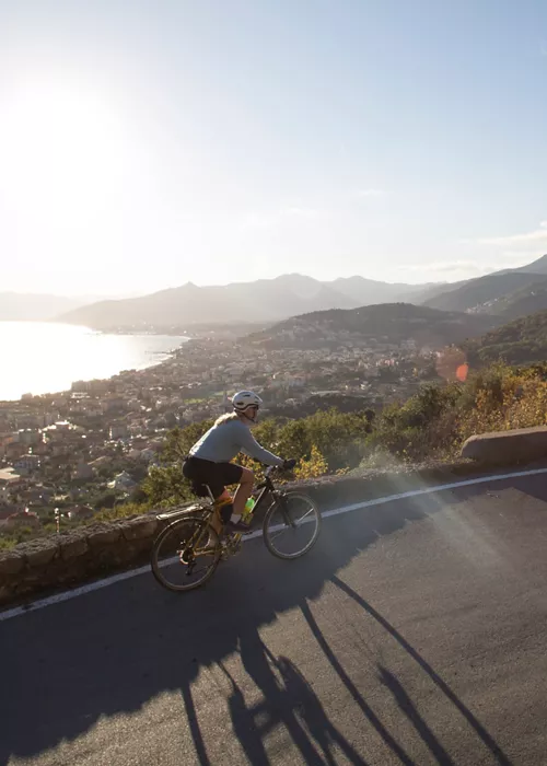
The Ponente Ligure Cycling Path is a long straight road that unwinds in front of the sea for 24 kilometers from San Lorenzo al Mare to Ospedaletti, on the western Ligurian Riviera. The route follows the track of the old Genova – Ventimiglia railway line, dismantled in 2001, and combines two cycling lanes and a pedestrian lane. The cycling lane crosses galleries, bridges, colorful fishermen houses and picturesque villages, like Santo Stefano al Mare, Riva Ligure, Arma di Taggia and Sanremo. Perfectly paved, equipped with road signs and easy to cycle, this cycling path offers bicycle rental (even for just a few hours), parking and bars and restaurants. Along the way, there are several panoramic spots where to stop to admire the sea. This cycle lane can be traveled from both San Lorenzo al Mare and Ospedaletti and is accessible from different locations (there are entry points approx. every 400 meters).
- Length: 24 kilometers (it can also be covered only for some stretches)
- Departure/arrival: San Lorenzo al Mare/Ospedaletti
- Difficulty: easy
The Salento Cycle Loop
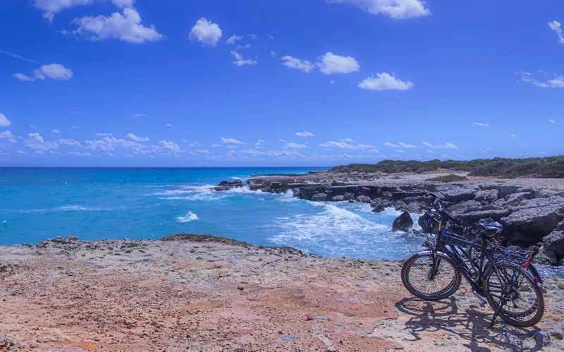
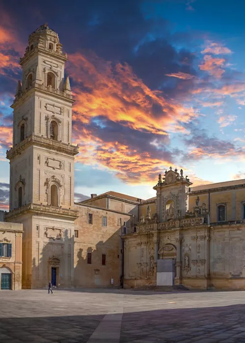
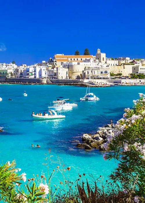
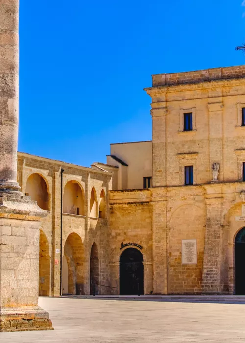
Overall 210 kilometers along the heel of Italy, among prickly pears, centuries-old olive trees and exciting sea views, the Salento Cycle Loop flanks wide coastline stretches and crosses small villages that invite to a food & wine stop with taralli, orecchiette and local cheese. The perfect tour starts in Lecce (easily reachable by train from Italy’s major cities), and then continues to Otranto (48 km away) running along the sea until Leuca (55 km, the most panoramic yet demanding leg because of the constant ups and downs) and Gallipoli (54 km to north-west), where you quit the sea to go back to Lecce (last 54 km). This bicycle-touring route is mainly flat, therefore suitable even for less trained cyclists, well signposted but especially recommended in low season, when temperatures are mild and the traffic low.
- Length: 210 kilometers (it can also be covered only for some stretches)
- Departure/arrival: Lecce
- Difficulty: medium/easy

