Tarvisio

Tarvisio is a small town almost on the border between Italy, Austria and Slovenia, with its own mountainous but very welcoming personality. While the fortifications around the church may recall a past that was not always peaceful, the proposal made in recent years to host the Winter Olympics, together with Klagenfurt in Austria and Kranjska Gora in Slovenia – three cities all within a small area of the Carnic and Julian Alps - shows that the climate here is anything but warlike.
Geographically speaking, Tarvisio is the main centre of the Canale valley, below mountains as high as the 2754-metre Jôf di Montasio (a name that also brings to mind a notable cheese, not to mention speck and honey) and nearby passes with no more customs posts between Coccau and Villach or Fusine and Kranjska Gora. These are names that speak mostly of winter ski tourism, but now also of summer tourism.
With enough time, you could take a detour from the Alpe Adria Cycle Route to see the lakes in Fusine and Predil, both of them only a dozen kilometres from Tarvisio but at altitudes around 700 metres higher, and not on the same road.
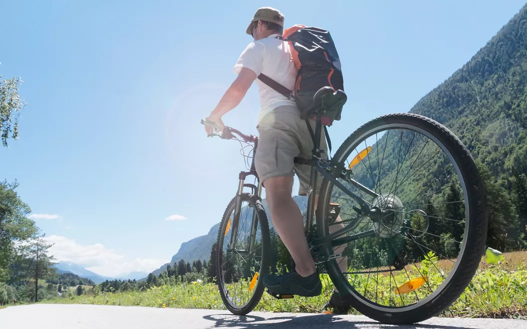
However, resuming our cycling from Tarvisio, we set off and pass through Camporosso in Val Canale, Valbruna and Malborghetto with its Venetian Palace.
Venzone

At Venzone, perhaps just over a three-hour ride from Tarvisio, we come to the Tagliamento, the great river that flows across Friuli, cutting it in two, as the name implies. The waters of the Tagliamento don't actually flow past the houses: its course is a little further down.
The world of the Carnic and Julian peaks above 2,000 metres is further north of Venzone, and it is here that you become familiar with the "Tiere Motus", a series of frightening seismic tremors, fortunately a long time ago, which devastated the entire region between May and September 1976. The epicentre of the earthquake was just a stone's throw away, at an altitude of over 1,500 metres on Mount S. Simeone overlooking the town, resulting in almost one hundred and sixty thousand homeless Friulians. Today, it is known as 'Tiere Motus. History of an earthquake and its people', an exhibition that can be visited in the sixteenth-century Palazzo Orgnani Martina.
That everything, between fundraising throughout the country and state appropriations, has been vigorously rebuilt is shown by the perhaps too orderly appearance of more than one hundred and fifty houses in the old town, reassembled stone by stone. In technical jargon, the procedure is called anastylosis, and is based on the numerical identification of each individual stone. The walls of Venzone, a rare example in Friuli, were rebuilt with the same method.
The same can be said of the Duomo di S. Andrea Apostolo, where even the remarkable internal frescoes have been restored thanks to painstaking work made possible by the rich photographic documentation available.
Gemona del Friuli

South of Venzone, a half-hour alternating between a cycle path and a provincial road, there is Gemona, an excellent testimony to the stubborn resilience that Friulians know how to put up. The earthquakes of 1976 had reduced not only houses but also buildings of great historical and artistic value to rubble. Yet today a visit to the beautiful Cathedral of Santa Maria Assunta reveals what happened only in the tilt of the pillars and in a broken Christ in the chapel to the right of the entrance, exposed to the memory of those who had lost their lives in the orcolat (as the Friulians call that earthquake).
Here, the memory is long-term. Given that Gemona is already mentioned in the Historia Langobardorum, written in the eighth century, it is fitting that the first weekend of every August is celebrated with the 'Tempus est jocundum' medieval evenings: ladies and knights in costume, theatre companies, games in the square, merchants and artisans. Even further back in time, there is evidence that a casteller existed in the area more or less three thousand years ago, and that a Celtic settlement was active around the sixth century BC. Then came the Patriarchate of Aquileia, the Republic of Venice, and from 1866 Italy.
You leave Gemona pedalling towards Udine heading for the Tagliamento Osoppo, originally a Roman castrum, with its fortress.
Udine

Less than two hours on the bike – about thirty kilometres – separate Gemona from the small capital of Friuli. Yet Udine is not so small; indeed it has its own grandeur in terms of art, downtown waterways and taverns. One of the most important regions of Italian and global oenology, Collio, is within easy reach and holds the upper hand.
We are particularly struck by the differences in height in Udine: from the central Piazza Libertà, a place of loggias, of coffee in style and dominated by a column with the Venetian Lion of San Marco, the portico winds its way along the winding path of beautiful historical buildings, climbs to the hill of the Castle between greenery, history and views.
The Diocesan Museum, located in the palace of the Patriarchate, is certainly worth a visit. Inside, you can admire a wonderful collection of works from the parishes of the diocese of Udine and, of great interest, the section dedicated to wooden sculpture. In the exhibition rooms, as well as in the main floor, the eighteenth-century frescoes, which the then Patriarch Dionisio Dolfin had created for the great painter Giambattista Tiepolo, will undoubtedly leave you speechless. The museum has not been open to the public for centuries like the Uffizi or the Louvre, but the works of Giambattista Tiepolo in Udine contribute very well to explaining why their author is authoritatively considered the last of the true painters in the history of art.
Palmanova

The charm of Palmanova can only be fully grasped from the sky or through one of its city plans. A visit to the land – from Udine by bicycle takes just over an hour – reveals very strong fortifications, elegant road access doors and a square that has the flavour of the Serenissima. But the real strong point is the urban shape. Sometimes passed off as an 'ideal city' due to its perfect planimetric symmetry, the fortress city of Palmanova was actually conceived as a war machine, albeit a defensive one.
At the time, we are talking about the end of the 16th century, these were truly frontier lands. The commercial and military confrontation-clash between Europe and Turkey had not yet been resolved. Vienna itself had already been besieged by Turkish forces in 1529. Venice, which had contributed decisively to blocking Constantinople's expansionism at sea with its naval victory in the waters of Lepanto in 1571, was forced to protect itself on land, on the eastern borders of its state, with a defensive system that could withstand a long siege and defend the more vulnerable eastern border from land.
Palma could legitimately be called a "nova" because what arose here should have been, and still is, a fortress built from nothing, with an elegant stellar plan according to the most advanced fortification theories of the time. In reality, it was the French who called it 'nova', after the Serenissima had become extinct in 1797.
Aquileia

Aquileia boasts two-thousand-year-old roots and an original propensity for the sea.
Visiting it requires leaps in time. Be that as it may, it is advisable to follow the route that starts from the archaeological area of the Roman forum, the excavations relating to the river port and the ancient Roman houses, to then reach the Basilica with its Gothic arches, its substantially fourteenth- and sixteenth-century appearance, its exceptional mosaic flooring and the two baptisteries, and finally, with a sudden leap back through the centuries, to the National Archaeological Museum.
Grado

Grado is its lagoon, as well as a less opulent island city and proud of its older sister, which is also lagoon-like (Venice, of course) but really a little less fascinating. The coasts of the Adriatic closest to Mitteleuropa are indeed rocky to the east, starting from the Triestine Karst, but for the rest here in the north they offer beaches, river mouths, and precisely lagoons: a separate civilisation.
The regional road to Grado literally runs through this water world. You can be behind the wheel along the road for cars or, better, on the handlebars along the cycle path on the side, protected by a guardrail, however, it seems to travel on water.
More brackish than that of Marano because it is less fed by fresh inland water, the Grado lagoon offers numerous opportunities for exploration also by bicycle along paths and heights in view of the fishing valleys. The large area of the Isola della Cona at the mouth of the Isonzo is protected as a reserve by the Friuli-Venezia Giulia Region, which has arranged a series of paths here.
In addition to the natural attractions, in good season you can cross the lagoon by ferry to reach the island with the sanctuary of the Madonna di Barbana, a destination above all for pilgrimages but also for simple excursions.


