Sant'Agata of Esaro - Madonna of the Pettoruto (16 km)

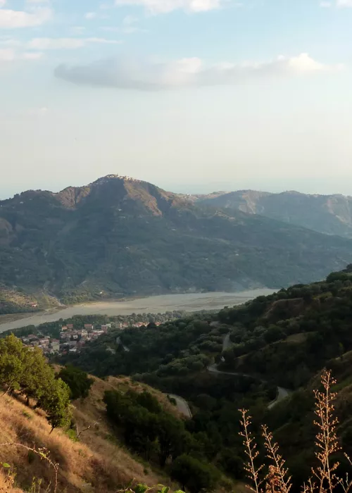
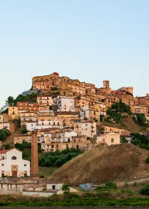
Our journey starts from the village of Sant'Agata d'Esaro, a small town in the Calabrian hinterland, in the heart of the Pollino Park 22 km from the Tyrrhenian coast. The territory of Sant'Agata d'Esaro, lapped by the Esaro River, is nestled between the Ionian and Tyrrhenian Seas and lies on a cliff in the upper Esaro Valley at 461 m above sea level. Founded by an order of ascetic monks who reached Calabria from Sicily to escape Saracen raids, 'Castrum Sanctae Agathae' owes its alleged founders devotion to the Catanese saint after whom it was named. The town was the birthplace of Dante Castellucci, a partisan leader who, fighting in Garfagnana, was among the supporters of the Republic of Corniolo but, unjustly accused of theft, was arrested and shot by his own comrades.
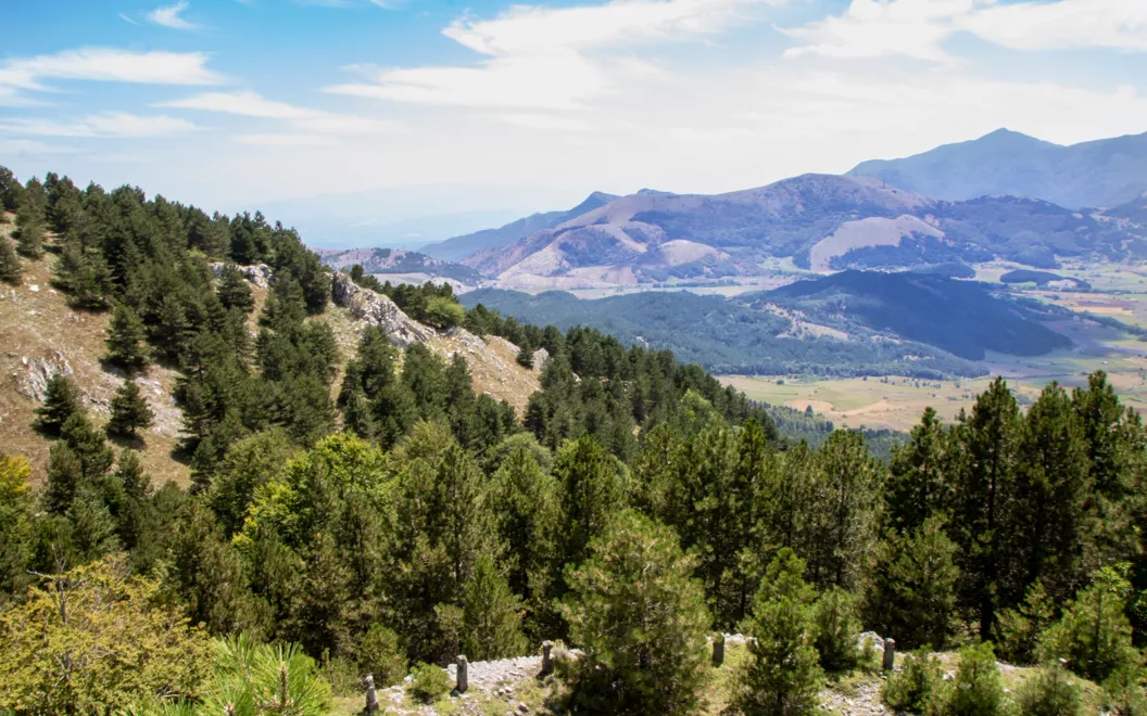
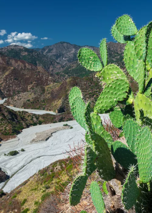
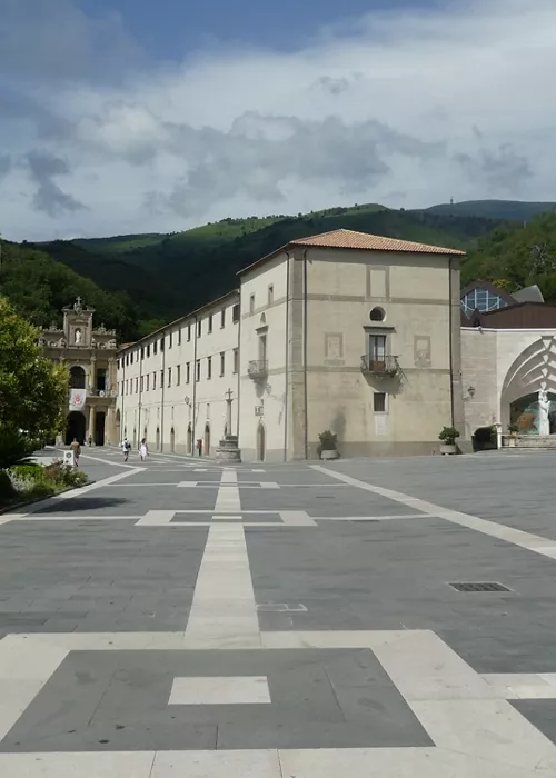
The 16 km of this stage start out on a climb that reaches two summits over 1,100 m above sea level, and then embark on a long descent that leads to the Sanctuary of the Madonna del Pettoruto, a mystical place of pilgrimage and faith in the municipality of San Sosti (CS), located on the slopes of Montea, between the peaks of the Pollino Massif and the Valley of the Fiume Rosa, at about 700m above sea level. A small diversion on the route leads to Pietra Pertusata, where you can admire the striking pierced rock on the top of which a loricate pine grows, and to the "Tavola dei Briganti", a singular monolith in the shape of an inverted pyramid, almost a stone mushroom.
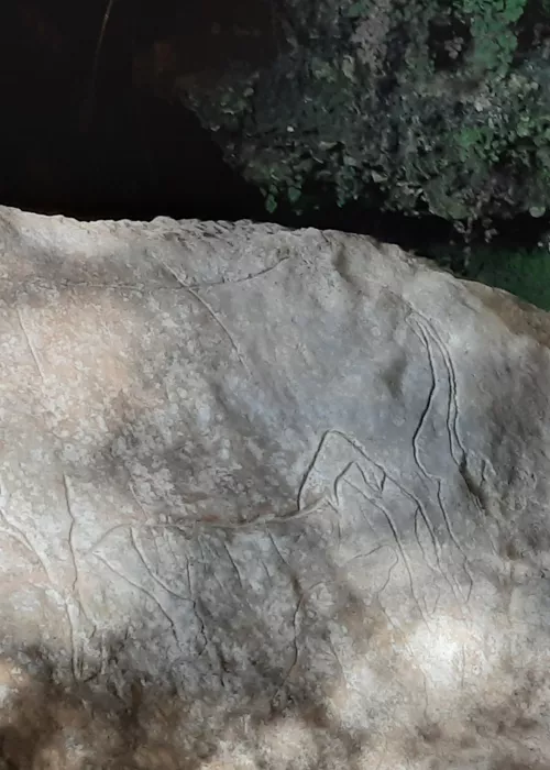
The Sanctuary, elevated to the status of Minor Basilica by Pope John Paul II in 1979, houses the statue of the Madonna of the Pettoruto, which, according to tradition, was carved into the tuffaceous rock by a young sculptor from Altomonte who had hidden here to escape an unjust accusation. Years later, she was found by a deaf-mute shepherd boy to whom Our Lady restored his hearing and speech by urging him to convince the people of San Sosti to build a church in her honour. Despite the difficulty of the walk, this place attracts thousands of faithful from all over Calabria and beyond every year. Particularly heartfelt is the solemn festival from 1 to 8 September, during which the historic fair in honour of the Madonna takes place in the village of San Sosti.
Near the sanctuary, on a settlement dating back to the Neolithic period, stood the ancient Greek colony of Artemisia. The remains of a protohistoric hut and the bronze ceremonial axe known as the "axe of San Sosti" or the "hammer of Kyniskos", now preserved in the British Museum in London, are just some of the many artefacts found that testify to the historical and cultural richness of these places.
In order to tackle the route safely, it is advisable to contact the official Pollino Park Guides indicated on the following link: https://parconazionalepollino.it/vivere-il-parco-new/gli-itinerari/guide-ufficiali
Madonna of the Pettoruto - Piano di Lanzo

Resuming our walk, from the Sanctuary of the Madonna del Pettoruto we head towards San Sosti, about 3 km away. After a short stop, we continue our march for another 19 km along a route of medium length but with a considerable difference in altitude: from the 300 m altitude of San Sosti we reach the more than 1,600 m of Monte La Muletta. This area, frequented since prehistoric times due to the presence of important metalliferous veins, is the highest point of the route. From here, the trail continues downhill to the 1,360 m of Piano di Lanzo in the heart of the Pollino National Park. Spectacular landscapes such as the broad karstic plateau called 'Campo' (1,560 m) open up before our eyes. A breathtaking view opens our gaze towards Montalto Uffugo (1,761 m), a rocky headland emerging from the dense vegetation, and the ancient watering place of the Acqua di Frida locality. From the La Cresta pass, we cross a monumental beech forest that reaches Piano di Lanzo through the Neapolitan alder, maple and beech woods of Valle Scura. Finally, we reach the Piano di Lanzo refuge at 1,351 m, a reference point for hikers and the final point of this stage.
In order to tackle the route safely, it is advisable to contact the official Pollino Park Guides indicated on the following link: https://parconazionalepollino.it/vivere-il-parco-new/gli-itinerari/guide-ufficiali
Piano di Lanzo - Piano di Novacco

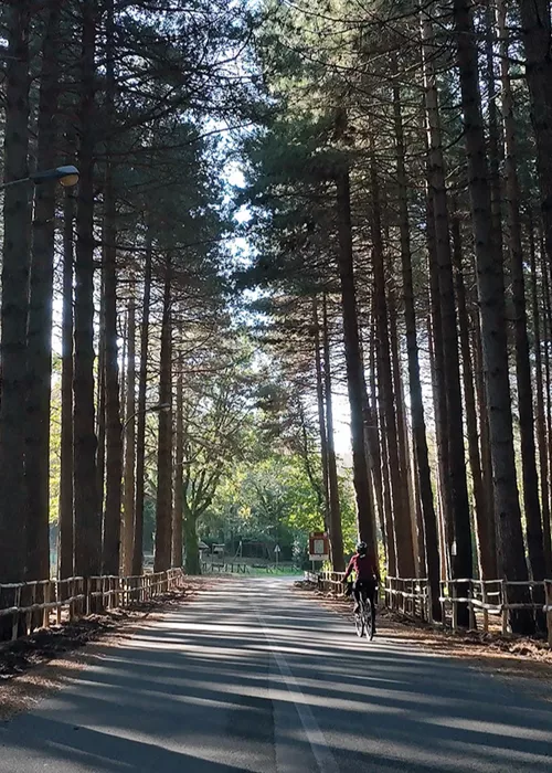
A hearty and tasty breakfast helps us get back on the road along this approximately 16 km stage that, alternating between stretches of dirt road and path, links the Piano di Lanzo refuge with Piano di Novacco (1,315 m). From this beautiful natural plateau in the municipality of Saracena (CS), surrounded by vast beech forests, the CAI route continues with a few ups and downs to the end of the stage and, through a beautiful forest, reaches the wide plateau.
The territory of Saracena is rich in attractions and certainly deserves a longer stop: the excursion to Mount Scifarello (1,650 m) or Mount Caramolo (1,827 m), from whose summit one can observe the Pollino chain dominating the Castrovillari valley and sloping down towards the Ionian Sea and, certainly not to be missed, the Grotto of San Michele Arcangelo, a karstic cavity not far from the town.
In order to tackle the route safely, it is advisable to contact the official Pollino Park Guides indicated on the following link: https://parconazionalepollino.it/vivere-il-parco-new/gli-itinerari/guide-ufficiali
Piano di Novacco - Morano Calabro

The last stage of this itinerary descends to Morano Calabro via a short route of about 13.5 km. The trail crosses the extraordinary prairie of the Piano Grande di Masistro, one of the most fascinating places in the Calabrian mountains: the rugged peaks of Monte Caroso (1,408 m), Cozzo Barbalonga (1,408 m), Cozzo l'Ancella (1,366 m), Trabaccante (1,412 m), Timpone del Vaccaro (1,436 m) and Serra Ambruna (1,320 m) form a crown that encompasses a large karstic depression one kilometre in diameter. From here the path faces the final descent to the town of Morano Calabro. Mentioned among the "Most Beautiful Villages in Italy" for its characteristic crib shape, the village is one of the main centres of the Pollino National Park. Perched on a perfectly conical hill, the town surprises visitors with its compact fabric of narrow streets, houses, churches and stairways that embrace the ruins of the Castle, an ancient Roman lookout post transformed into a fortress by the Normans.
Not far from the village, another place absolutely worth visiting, the evocative ruins of the Augustinian Monastery of Colloreto bear witness to the tradition and faith of this land.
In order to tackle the route safely, it is advisable to contact the official Pollino Park Guides indicated on the following link: https://parconazionalepollino.it/vivere-il-parco-new/gli-itinerari/guide-ufficiali

