Alpine Gravel: a unique experience along the trails of Val di Sole
4 minutes

Index
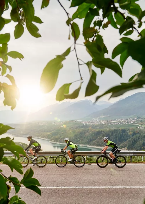
For cycling enthusiasts, the valley is a veritable open-air gymnasium. Noted for being Italy's first Gravel Destination, its main itineraries are ready to offer the best to gravel enthusiasts.
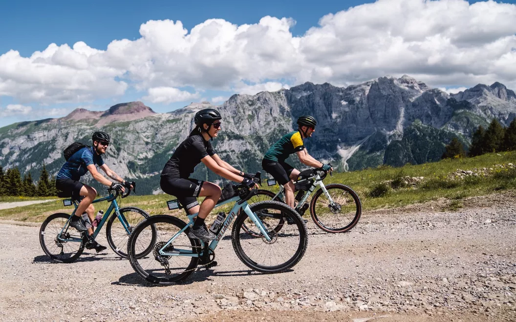
Alpine Gravel, as the name suggests, offers unique routes that connect the valley with the forests and the Alps, along trails with views that are hard to forget. Little asphalt, lots of gravel or alpine terrain, all between 650 and 2200 metres above sea level. It is more technical, more high-performance and more spectacular than the paths you'd normally ride.
Five factors make these routes unique:
considerable variation in altitude (from 970 m D+).
considerable gradient (with sections up to 21%);
alpine surface (may be loose or stony).
portage (it's not Alpine Gravel if you don't have to dismount at least once);
technical descents (on steep and alpine terrain).
Obviously, the use of a gravel bike, with min. 38 mm tyres, will be necessary. Once you're on the saddle, you're ready to discover Val di Sole BikeLand!
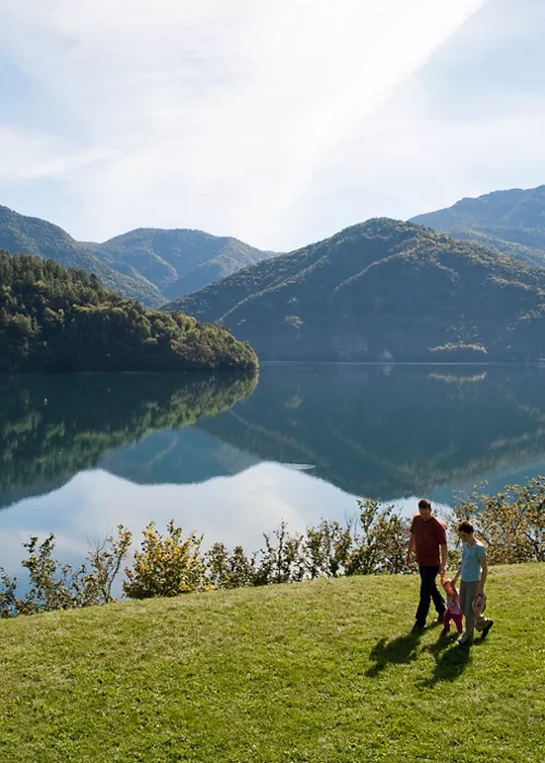
Between the Dolomites and Presanella, Alpine Gravel Lago di Celestino
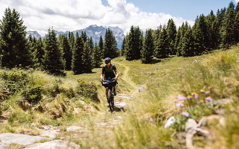
Starting from Ossana, you ride uphill on a well-maintained forest road to Malga Campo, from where you continue to Lago di Celentino, on a level forest road. From the lake, a path leads in the direction of Malga Pozze and then to Malga Stabili on a well-kept forest road. Then it's downhill again, on a dirt road that is bumpy at first and then much smoother, onto an asphalt road that leads back to the valley floor and the Val di Sole cycle path to Ossana.
A 'Dolomite' experience with Alpine Gravel Monte Vigo
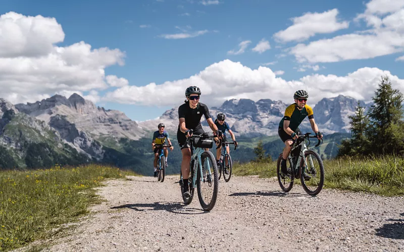
This new route starts from Dimaro and lead towards Val Meledrio. The route is demanding in terms of altitude, but without any technically challenging sections. It runs through the forest and the tall vegetation means there is no risk of suffering from the heat.
The effort is repaid by the breathtaking views: small waterfalls, streams and valleys. From Belvedere, in the Folgarida area, the climb continues to the summit of Monte Vigo, where the majesty of the Brenta Dolomites can be admired. The climbs, which are short and steep, can be managed by less fit cyclists by using portage in a few points. From the summit of Monte Vigo, you begin a steep descent on a dirt road to Lago dei Caprioli. From there, an asphalt road takes the cyclist back to Ossana and the road leading to the arrival point of the itinerary.
History and culture with Alpine Gravel Passo Tonale
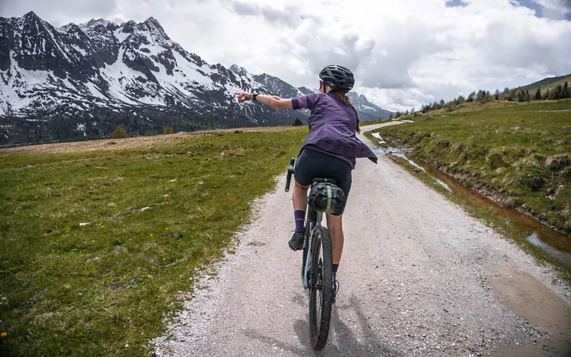
An uphill route with stretches on beaten road, dirt tracks, meadows and forest roads leads from Mezzana to the summit of the Passo del Tonale and the discovery of remnants of the World War I, in particular Forte Nero and Forte Zaccarana. After a well-deserved break and another short uphill stretch, the descent begins, with technical sections with stones and beaten earth, to the village of Ossana. The road surface is uneven in places, requiring a minimum of technical skill to tackle this route.
Among the apple orchards with Alpine Gravel Bassa Valle
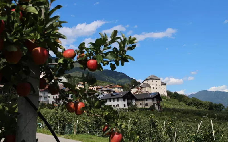
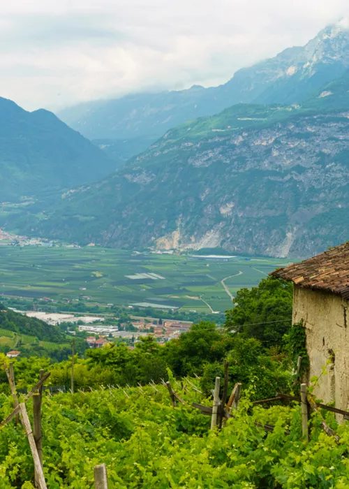
The Bassa Valle route is certainly the most suitable choice for those experiencing Alpine Gravel for the first time: certainly the least technical of the six total. The route runs half on the Val di Sole cycle path and half off-road, through villages, hamlets and forests. The itinerary starts at Mezzana station and takes the cycle path to Ossana, where it meets an initial descent with gravel stretches. The next section, from Daolasa via Costa Rotian, passes through beautiful views of the lower Val di Sole. You then ride along forest roads from Dimaro to Cavizzana, reaching the lowest point where the Val di Sole cycle path begins.
Reaching the shores of Lake Pian Palù with Alpine Gravel Pejo
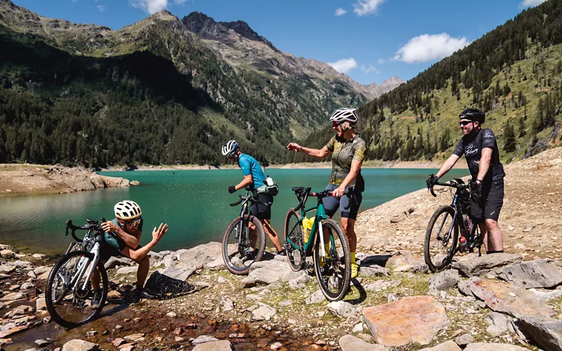
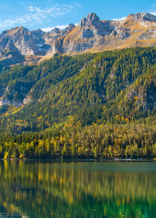
The route through the Pejo Valley is undoubtedly the most challenging of the six proposed. This route offers breathtaking views and climbs, such as the one towards Val de la Mare, where the southern peaks of the Ortles Cevedale group can be seen. At the end of the valley, the route continues at a fast pace along dirt roads to Pejo village. You reach Malga Covel, from where the descent begins along a serpentine path with very technical points, where only the most experienced will manage not to dismount. After crossing the stream, the path skirts the mountainside, where it is recommended to continue with portage. After this technical passage, the route continues without difficulty to the unmistakable turquoise-blue-green of Pian Palù lake. An invigorating ride around the lake anticipates the stretch down the valley road to Pejo Fonti and the starting point. The cycle path to Ossana can be a good alternative to the final stretch.
Discover the Adamello Brenta Park with Alpine Gravel Monte Peller
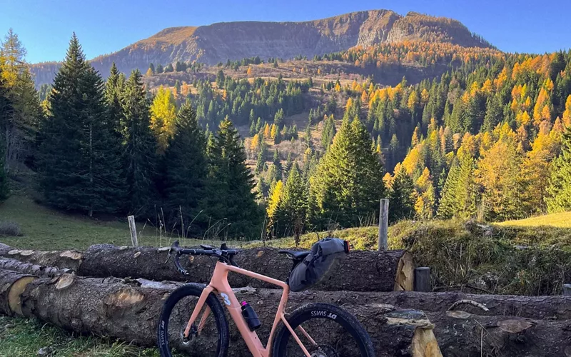
With a total elevation gain of 1,560 metres, to an altitude of almost 2,100 metres, this route is among the most challenging and spectacular. The route runs for 36.5 km through the Adamello Brenta Park, starting from the railway station in the village of Caldes. The route passes through some vineyards and then climbs a long gravel ascent to the summit of Monte Peller. The effort of the last steep uphill stretch is repaid by the unique spectacle of the Brenta Dolomites whose peaks appear, one after another, on the horizon. Once you reach Malga Tassula, the descent proceeds rapidly, through hairpin bends and a few forested stretches, towards the end of the route.

