This content was automatically translated. View the original text.

Overview
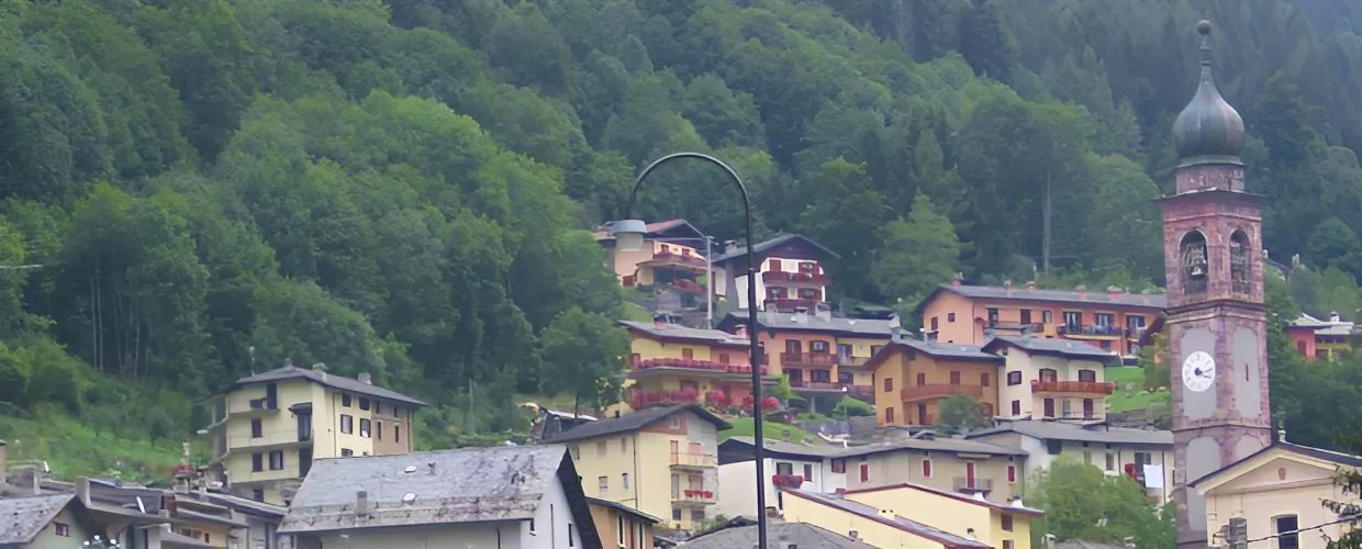
Roncobello, about 50 kilometres from Bergamo, is a village with just 492 inhabitants that has maintained its original size and layout throughout history. It is located in the valley of the Valsecca stream, which intersects with the upper Brembana Valley.
The first permanent settlements date back to the time of the Barbarian invasions; in particular, experts believe that, in around the 6th century AD, inhabitants fleeing from the nearby Valsassina were the first to arrive here, as evidenced by certain place names that are the same in both areas. The existence of the village is attested by documents dating back to 1258, which mention the division of lands that happened almost 70 years earlier, carried out by the Bishop of Bergamo, who owned them.
Roncobello's economy consisted primarily of sheep farming and the tanning of hides. The area was also home to some mines: the best known, since pre-Roman times, was the one that mined gold, located in an undetermined part of Bordogna. This hamlet is mentioned by name in a deed drawn up in 1234. Its name is believed to originate from Bordonus, probably a one-time inhabitant who owned property in the area.
The fortified core of the Tower and the Chapel of San Rocco still stand here, commemorating the plague deaths of 1630.
In 1442, the town became part of the Republic of Venice and thus enjoyed tax breaks and privileges.
In the second ward, Forcella, there is an exquisitely frescoed church with a portico that was used as a shelter for wayfarers.
As we continue on our way, we arrive in Baresi, where we can still find the core of the old town from which the Bonetti family of painters emigrated to Bergamo and Venice in the 1400s
.
Finally, after Roncobello, we reach Capovalle, where there is a small church dedicated to the Madonna della Neve (Our Lady of the Snows).
From here, the carriageway plunges into the pine forest and climbs to the Mezzeno basin, the starting point for excursions to the Gemelli Lakes, the Alpe Corte Mountain Refuge, Lake Branchino, the Sentiero dei Fiori or "Flower Trail", the peak of Pizzo Arera, and the entrance to the Bus del Castel or "Castle Hole" cave. The latter is an abyss that reaches a depth of 422 metres below the entry point, with a total vertical extent of around 1,700 metres. The cave system is very complex, with several branches, twists and turns, and chambers, traversed in parts by an underground stream with waterfalls and wells only suitable for expert cavers. The landscape around the cave showcases exciting features caused by "karstification" (the environmental effects of water flow on rocks on the surface and below).
In 1927, the municipalities of Baresi and Bordogna were permanently merged.
24010 Roncobello BG, Italia